US Aerial integration: St. Pete Police Department launches Drone Hive
Officers now have a rooftop Drone Hive at their disposal, which allows them to use cutting-edge technology as additional first responders. The three drones, controlled by pilots inside SPPD’s new Real Time Intelligence Center (RTIC), can provide quicker response times for high-priority calls. On-
When the St. Petersburg Police Department unveiled its Drone Hive—a rooftop-mounted system housing three operational drones controlled from a Real Time Intelligence Center (RTIC)—it signaled a watershed moment in how American law enforcement deploys aerial assets. This isn't incremental improvement. This is infrastructure.
For those of us in the drone services industry, the SPPD deployment offers a crucial lesson: when institutions commit to aerial integration at scale, they don't just buy equipment. They build systems. They train operators. They establish protocols. And they prove, beyond any doubt, that drones have graduated from novelty to essential response tool.
But what does this mean for Arizona? What can contractors, property managers, and public agencies in Southern Arizona learn from a police department in Florida that's fundamentally reimagining how first responders operate?
The Drone Hive Model: What SPPD Built
The St. Petersburg Police Department's Drone Hive represents a departure from traditional drone deployment. Instead of storing aircraft in a closet and scrambling pilots when an emergency call comes in, SPPD built a permanent aerial operations center.
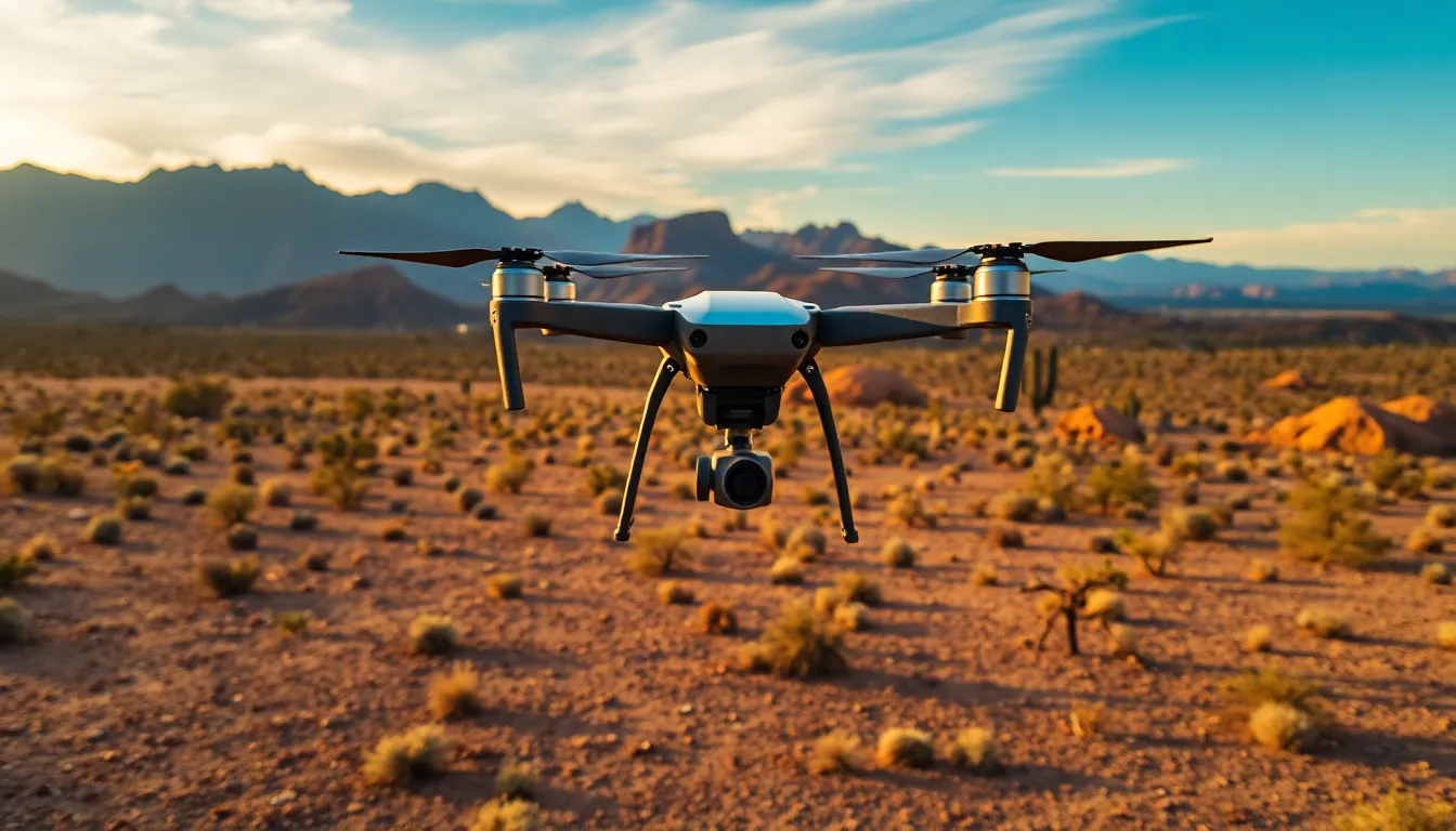
Three drones—likely DJI Matrice or Freefly systems designed for law enforcement—sit on a rooftop, ready for launch. Inside the RTIC, certified pilots monitor dispatch traffic in real time. When a high-priority call comes in—an active incident, a search and rescue situation, a scene requiring rapid intelligence—a drone is airborne within minutes, not hours.
This isn't theoretical. The speed advantage is measurable. Traditional drone response requires:
- Receiving the call
- Locating and assembling equipment
- Traveling to launch site
- Conducting pre-flight checks
- Obtaining airspace clearance
- Launching the aircraft
The Drone Hive collapses that timeline. Pilots are already at their stations. Equipment is pre-staged. Airspace coordination happens before the emergency, not during it.
For law enforcement, those minutes translate to lives saved, suspects apprehended, and scenes documented before evidence degrades or conditions change.
Why This Matters Beyond Police Work
The SPPD model has implications far beyond criminal justice. Construction companies, property insurers, utilities, and emergency management agencies across Arizona are watching what law enforcement does with drone infrastructure—and then adopting the same playbook.
Consider construction progress monitoring. A general contractor managing a large-scale project in Phoenix or Tucson could deploy a permanent aerial station on-site: drones pre-positioned, pilots on-call, weekly or daily monitoring flights scheduled without the logistical overhead of mobilizing equipment for each survey.
Or take insurance claims. When a hailstorm damages roofs across Cochise County, adjusters currently wait days for drone inspectors to arrive and conduct assessments. A regional "Hive" model—shared infrastructure serving multiple agencies—could compress that timeline to hours.
The SPPD approach proves that institutional drone integration works. It works because it treats drones not as occasional tools, but as permanent infrastructure.
The Technology Behind the Hive
The Drone Hive isn't magic. It's engineering discipline applied to drone operations.
Most law enforcement Hive systems use:
- Rooftop launch/recovery stations that protect aircraft from weather and provide rapid deployment
- Multi-drone charging and maintenance bays so that while one aircraft is in the air, others are ready to launch
- Integrated dispatch systems that link drone pilots directly to 911 call-takers and incident commanders
- Real-time video feeds transmitted from aircraft to command centers, evidence rooms, and field units simultaneously
- Automated flight planning software that pre-loads common response routes and building footprints
For SPPD, the RTIC serves as the nerve center. Pilots can see dispatch traffic, communicate directly with first responders in the field, and make real-time decisions about which drone to launch and where to position it.
This level of integration requires more than equipment. It requires:
- Redundant power systems
- Weatherproof operations centers
- Cybersecurity protocols to protect video feeds
- Training programs that treat drone piloting as a specialized discipline (not a side duty)
- Maintenance schedules that keep aircraft in perfect condition
Arizona's Opportunity: From Police Models to Commercial Integration
Southern Arizona hasn't yet seen a Drone Hive deployment at the scale of SPPD. But the conditions are ripe.
Cochise County's sprawling terrain, the complexity of construction projects in the Phoenix metro area, the agricultural intensity of the Willcox AVA, and the insurance claims volume across the state all suggest that permanent drone infrastructure would pay for itself within months.
Consider the economics:
A construction company managing multiple projects across Southern Arizona currently pays per-flight fees to drone service providers. Each survey costs $500–$2,500 depending on scope. A 50-acre site monitored twice weekly for six months represents $24,000–$120,000 in drone service costs.
Alternatively, that same company could invest in permanent on-site drone infrastructure: a small rooftop station, two aircraft, and a part-time pilot. After the initial capital outlay ($30,000–$50,000), recurring costs drop to pilot wages and maintenance. Within two years, the ROI is undeniable.
The SPPD model proves this works at institutional scale. The next step is commercial adoption.
Regulatory Tailwinds: Why Now Is the Moment
The FAA has spent the last five years building the regulatory framework that makes permanent drone infrastructure legal and safe.
- Part 107 certification is now mature. Thousands of professional pilots operate under established rules.
- Airspace integration is improving. The FAA's Low Altitude Authorization and Notification Capability (LAANC) system allows automated coordination between drone operators and manned aircraft.
- Beyond Visual Line of Sight (BVLOS) operations are being approved in specific corridors and for specific use cases. SPPD's Drone Hive likely operates under a waiver that permits BVLOS response flights.
- Data security standards are hardening. Law enforcement and commercial operators now have clear guidance on how to protect aerial footage and telemetry.
Five years ago, a Drone Hive would have required years of regulatory negotiation. Today, the pathway is clear. A forward-thinking Arizona agency or contractor could deploy similar infrastructure within months.
What Stronghold Precision Aerials Sees in the SPPD Model
We've watched this evolution closely. The St. Petersburg deployment confirms what we've been telling clients in Cochise County, Phoenix, and Tucson: drone infrastructure is moving from project-based services to permanent, integrated systems.
For construction firms, that means:
- Real-time progress documentation without mobilization delays
- Integrated data feeds that connect directly to project management software
- Faster decision-making when site conditions change
- Reduced insurance claims through rigorous baseline documentation
For property managers and insurers, it means:
- Same-week roof assessments instead of multi-week delays
- Thermal imaging that catches problems before they become catastrophic
- Claims documentation that stands up to litigation
- Reduced liability through professional-grade evidence collection
For agricultural operations in the Willcox AVA and beyond, it means:
- Weekly NDVI scanning to track vineyard health in real time
- Precision irrigation data that optimizes water use
- Early detection of pest pressure or disease
- Competitive advantage in a region where margins are thin
The Path Forward for Arizona
The SPPD Drone Hive isn't the future. It's the present, deployed in Florida, and arriving in Arizona sooner than most expect.
If you're managing a large construction project, overseeing a portfolio of properties, or operating an agricultural enterprise in Southern Arizona, the question isn't whether drone infrastructure will become standard. It's whether you'll lead the adoption or follow it.
Stronghold Precision Aerials specializes in permanent drone integration for construction, real estate, and agricultural clients throughout Southern Arizona. Our FAA-certified pilots and engineers can help you assess whether a dedicated aerial system makes sense for your operation, design infrastructure that fits your workflow, and train your team to operate it safely and effectively.
Contact us today for a consultation on permanent drone infrastructure. We'll review your current monitoring and documentation processes, identify where aerial integration delivers the fastest ROI, and outline a timeline for deployment. The SPPD model works. Now it's time to adapt it to Arizona's unique challenges and opportunities.
Ready to Get Aerial Services?
Stronghold Precision Aerials delivers professional drone services for agriculture, real estate, infrastructure, and more throughout Southern Arizona. Every project is handled with precision and attention to detail.
Contact SPA for a ConsultationMore from the Blog
Vineyard NDVI Scanning in Willcox AVA: What Growers Actually See in the Data
DronesHow Drone Inspections Save Arizona Builders Time and Money
ConstructionHow Drones Are Transforming Construction Progress Monitoring in Southern Arizona
Discover how drone-based construction monitoring saves Arizona builders 50-70% on surveying costs. Learn about orthomosaic mapping, 3D modeling, and real-time progress documentation for your next project.
InspectionsDrone Roof Inspections in Arizona: Safer, Faster, and More Affordable
Discover how drone roof inspections save Arizona homeowners and businesses thousands on repairs. See thermal imaging benefits, cost comparison, and why insurers recommend UAV inspections.
AgricultureWhy Arizona Vineyards Need Drone NDVI Scanning
Discover how NDVI scanning helps viticulturists in the Willcox AVA detect water stress, optimize irrigation, and maximize yields in Arizona's unique wine country.
Real EstateAerial Photography for Real Estate: How Drones Sell Properties Faster
Discover why aerial drone photography is becoming essential for real estate marketing, including statistics on faster sales, higher prices, and how to build an effective drone package.
Industry GuideHow to Hire a Professional Drone Pilot in Arizona: What to Look For
Not all drone operators are created equal. Learn the 7 essential things to check before hiring a drone pilot for your next project in Southern Arizona.
Real EstateReal Estate Aerial Photography Pricing: What Agents and Sellers Should Know in 2026
How much does real estate aerial photography cost? A complete pricing breakdown for drone photography packages, what affects cost, and why aerial imagery delivers 3-15x ROI for property listings in Arizona.
ConstructionDrone Photography for Construction Sites: A Complete Guide to Aerial Documentation in Arizona
How construction companies in Arizona use drone photography for site documentation, stakeholder reporting, marketing, and safety compliance. Learn what to expect, what it costs, and how aerial imagery saves time and money on every project.